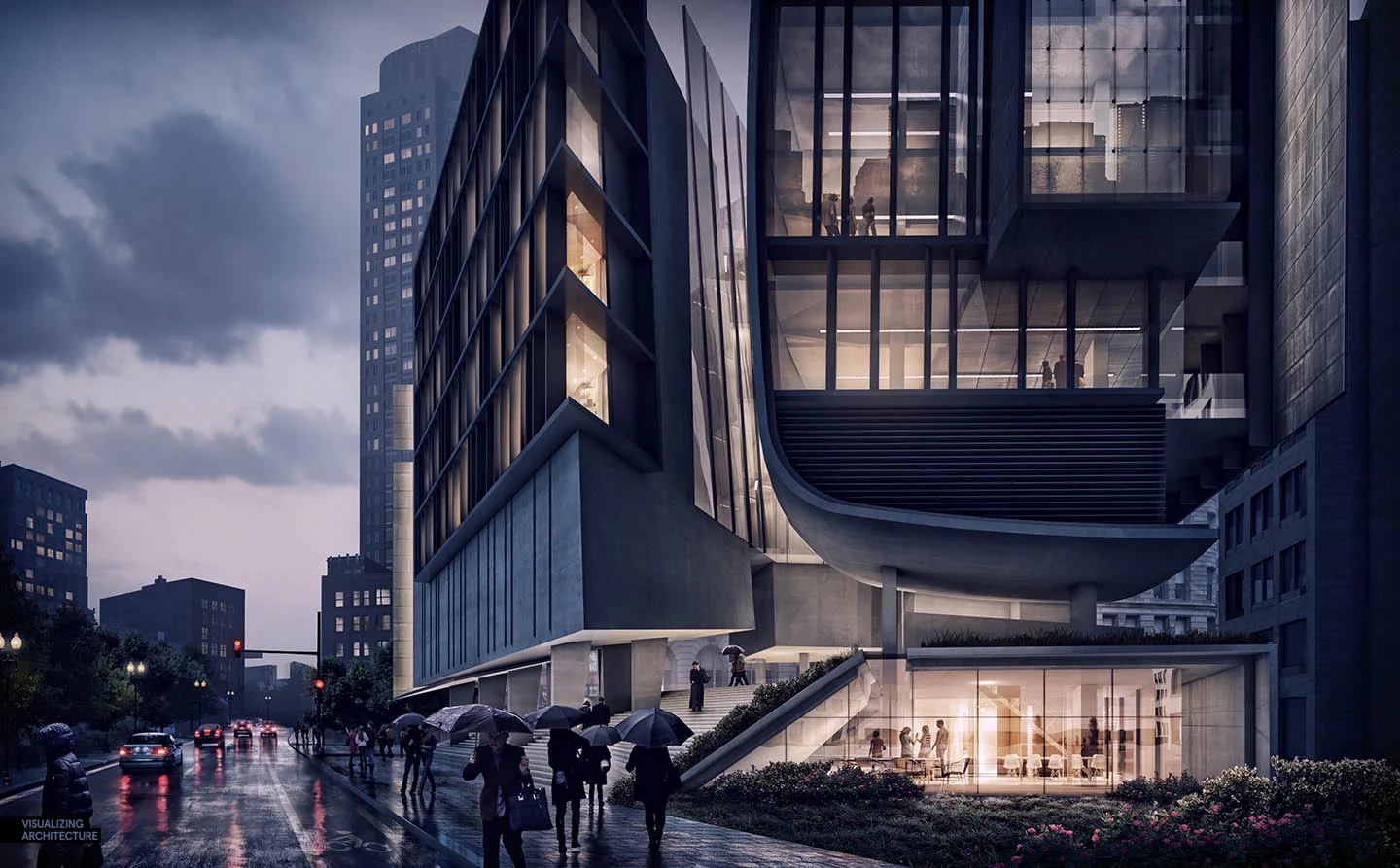
Day to Night: All Photoshop | Visualizing Architecture
This is and effective tutorial. The wet ground effect is hard to beat.
Making of Queen Alia Airport
Ronen Bekerman - 3D Architectural Visualization & Rendering Blog
Source: Making of Queen Alia Airport - 3D Architectural Visualization & Rendering Blog
241 Major World Cities | ArchDaily
Creating designs for cities all over the planet may have just gotten a whole lot easier - thanks to Brandon Liu, a Software Developer from San Francisco who used data from OpenStreetMap to create .DXF CAD files of 241 major cities worldwide. These files are entirely free to download, and from San Francisco to Sydney, Buenos Aires to Beijing and Helsinki to Harare, most of the world's major cities are included.
Source: Free CAD Files of 241 Major World Cities | ArchDaily
City CAD files for download
By fooI've published a simple web page with 241 metro extracts in .DXF format. The source is the Mapzen Metro Extracts that I downloaded a week ago, so they won't be magically updated every week. In total they took 12 hours to generate on my laptop, and clock in at 3.5 GB unzipped. I did some testing on Mac and Windows, ruled out the bzip2 compression format 'cause Windows doesn't like it, and was successfully able to open files in Rhino, AutoCAD, and Revit!
Source: bdon.org


